Free 8 Week Hiking Guide to Hiking Mt Timpanogos
I have had so many of you ask how to best prepare to hike Timp, because I LOVE it so much. I have a whole post on what to expect, what to wear, & what to bring HERE. Check it out if you haven’t already. I have also put together an 8 week hiking guide below, that will help you to prepare to summit one of the most beautiful mountains in Utah.
I would highly recommend working out 3-4 X per week (a combination of cardio & strength training), alongside these recommended hikes to ensure that you are in the best possible condition to make this hike enjoyable. If you are wanting some workouts that will help to specifically get you prepped for this awesome climb, you can check out my 8 week Timp workout training guide HERE.
With the 8 week hike guide below, there is a breakdown of hikes I’d recommend doing each week to get you ready to hike Timp. Each week the hikes build on each other increasing in mileage, elevation, & difficulty. The goal is to continually increase the intensity to allow you to build that endurance & stamina. You will see that for the first 5 weeks, I suggest you hike a couple of times per week. If you can continue this throughout the program that is awesome. I know that can get hard with fitting the longer hikes into your schedule, but it will really help you to get ready for Timp.
Depending on which trail you take, hiking Timp requires an elevation gain of 4,500-5,500 feet. Elevation gain = the amount of vertical feet you will climb. Keep that in mind as you are picking the hikes that you will train on. It will help you to get used to the elevation gain, so don’t shy away from those hikes. I have tried to include a variety of hikes across SLC & Utah County, but if you are located somewhere else & want to train to hike just try to find a hike that is similar in distance & elevation gain.
My favorite app to use for hiking is the All Trails App. Each of the hikes I have listed below should be listed in that app specifically how I have it written out. If you are unfamiliar with the hike, it will give you exact directions to the starting point of the trail, as well as a GPS trail with the full details on where you should be going. I would HIGHLY recommend downloading the trail maps to use prior to leaving for your hike, because it’s likely you’ll be in and out of service while hiking if you have it at all. The best way to ensure safety & understanding of your surroundings is to prepare beforehand. I would also highly recommend you hike with a friend, & be smart about where and when you are hiking.
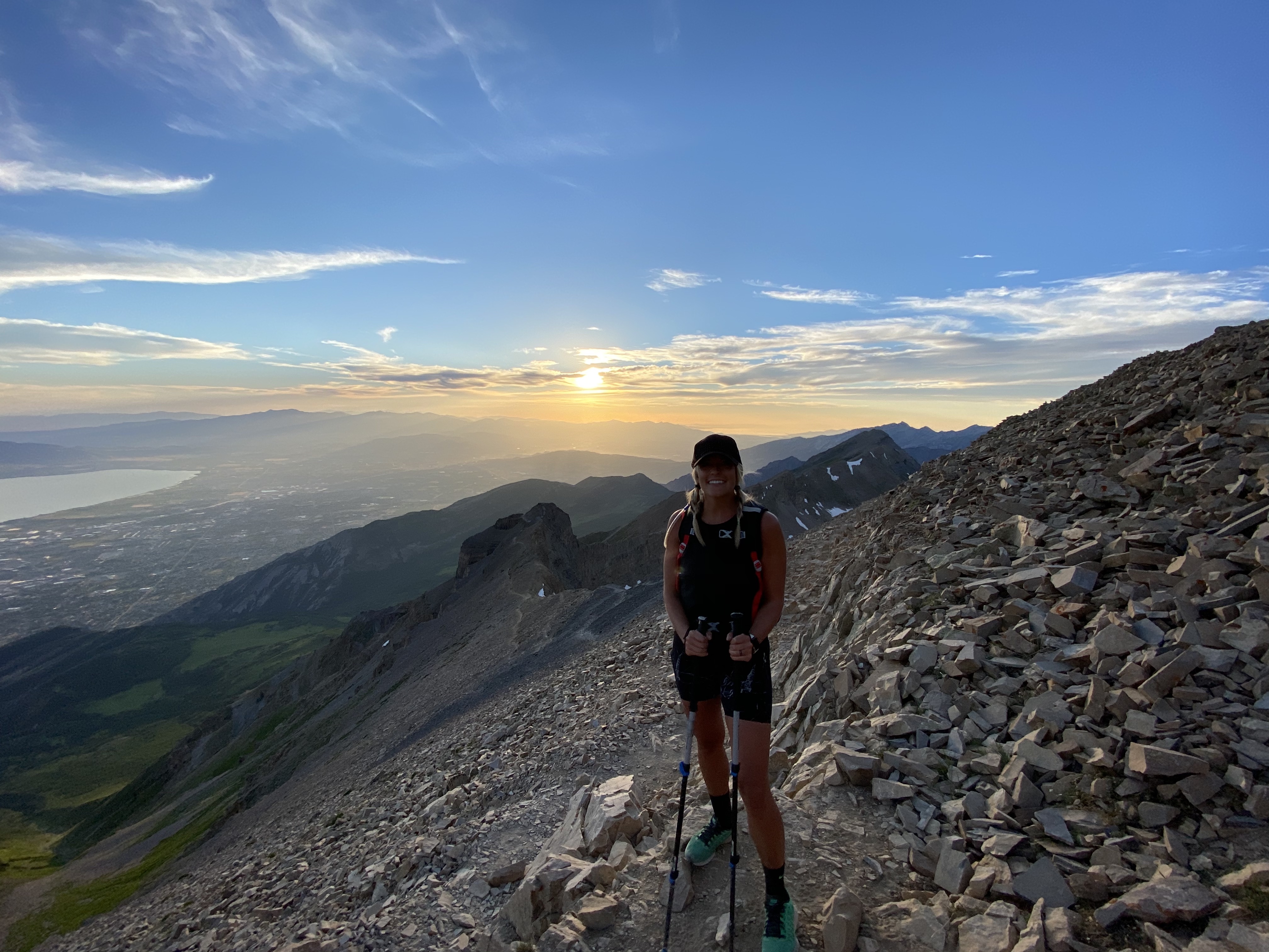
Remember. ANYONE can hike Timp. It is just a matter of how you want to feel while you are doing it. The more you prep for it, the more enjoyable the experience will be. Now, Let’s get after it!!
MUNCHER CRUNCHER’S 8 WEEK HIKING GUIDE TO HIKING MT TIMPANOGOS
WEEK 1: (Do 2-3 of these hikes this week)
- The “G” hike – 1.9 miles 807 ft. elevation gain (Pleasant Grove, UT)
- Battle Creek Falls – 2 miles 620 ft. elevation gain (Pleasant Grove, UT)
- Donut Falls – 1.5 miles 308 ft. elevation gain (SLC, UT)
- Ensign Peak – .8 miles 374 ft. elevation gain (SLC, UT)
- Living Room Lookout Trail – 2 miles 895 ft. elevation gain (SLC, UT)
- Cecret Lake Trail – 1.8 miles 465 ft. elevation gain (SLC, UT)
WEEK 2: (Do 2 of these hikes this week)
- Bloods Lake – 2.7 miles 459 ft. elevation gain (Park City, UT)
- The “Y” hike – 2.2 miles 1092 ft. elevation gain (Provo, UT)
- Lake Mary Trail – 2.6 miles 849 ft. elevation gain (SLC, UT)
- Gloria Falls – 2.8 miles 574 ft. elevation gain (Sandy, UT)
- Willow Lake Trail – 2.3 miles 633 ft. elevation gain (SLC, UT)
- Twin Lakes Trail – 2.3 miles 767 ft. elevation gain (SLC, UT)
- Meridian Peak – 2.7 miles 803 ft. elevation gain (North Salt Lake, UT)
WEEK 3: (Pick 1 of these hikes this week, as well as 1 hike from Week 2)
- Primrose Overlook Via Horse Flat Trail – 3.1 miles 787 ft. elevation gain (American Fork Canyon, UT)
- Stewart Falls – 3.4 miles 646 ft. elevation gain (Provo, UT)
- Lake Solitude Trail – 3.3 miles 495 ft. elevation gain (SLC, UT)
- Bear Canyon Bridge via Bonneville Shoreline Trail – 3.3 miles 508 ft. elevation gain (Draper, UT)
WEEK 4: (Pick 1 of these hikes this week, as well as 1 hike from Week 2 or Week 3)
- Avenue Twin Peaks – 3.6 miles 984 ft. elevation gain (SLC, UT)
- Scout Falls – 4.2 miles 1,089 ft. elevation gain (American Fork Canyon, UT)
- Sunset Peak Trail – 4 miles 1,322 ft. elevation gain (Mounthaven, UT)
- Bells Canyon Trail to Lower Falls – 4.6 miles 1,453 ft. elevation gain (Sandy, UT)
WEEK 5: (Pick 1 of these hikes this week, as well as 1 hike from Week 2, 3, or 4)
- Silver Lake – 4.7 miles 1,433 ft. elevation gain (American Fork Canyon, UT)
- Horsetail Falls Trail – 4.6 miles 1,617 (Alpine, UT)
- Dog Lake via Big Water Trail – 5.2 miles 1,276 ft. elevation gain (SLC, UT)
- Curley Springs via Dry Canyon Trail – 5 miles 1,407 ft elevation gain (Lindon, UT)
- Ghost Falls Trails via Bonneville Shoreline Trail – 5.1 miles 879 ft. elevation gain (Draper, UT)
WEEK 6: (Pick 1 of these hikes this week. If possible, try to add an additional hike this week with at least 1,000 feet of elevation gain)
- Dry Canyon Trail – 5.4 miles 2,903 ft. elevation gain (Lindon, UT)
- Grandeur Peak East Trail from Church Fork – 5.9 miles 2,365 ft. elevation gain (SLC, UT)
- Brighton Lakes Loop – 7 miles 1,807 (SLC, UT)
- Red Pine Lake – 7 miles 2,073 ft. elevation gain (Mounthaven, UT)
- Dog Lake Reynolds Peak & Butler Fork Loop Trail – 6.8 miles 2,339 ft. elevation gain (SLC, UT)
WEEK 7: (Pick 1 of these hikes this week. If possible, try to add an additional hike this week with at least 1,000-2,000 feet of elevation gain)
- Squaw Peak Trail – 7.2 miles 2,742 ft. elevation gain (Provo, UT)
- Lake Blanche Trail – 6.4 miles 2,716 ft. elevation gain (Mounthaven, UT)
- Y Mountain Trail – 6.6 miles 3,106 ft. elevation gain (Provo, UT)
- Mahogany Mountain North Peak Trail – 5.6 miles 3,779 ft. elevation gain (Pleasant Grove, UT)
- Silver Glance Lake & Sword In The Stone Scramble – 6.1 miles 2,470 ft. elevation gain (American Fork, UT)
- Sugarloaf Pass Via Mineral Basin Road – 6.7 miles 2,604 ft. elevation gain (American Fork, UT)
WEEK 8: (Pick 1 of these hikes this week. If possible, try to add an additional hike this week with at least 1,000-2,000 feet of elevation gain)
- Battle Creek to Grove Creek Loop – 8.2 miles 2,644 (Pleasant Grove, UT)
- Big Baldy Summit – 6.9 miles 3,326 ft. elevation gain (Pleasant Grove, UT)
- Maybird Lakes Trail – 6.9 miles 2,214 ft. elevation gain (Sandy, UT)
- Pfeifferhorn via Red Pines Lake Trail – 11 miles 3,871 ft. elevation gain (SLC, UT)
- Mount Olympus – 6.5 miles 4,143 ft. elevation gain (SLC, UT)
- White Pine Lake Trail – 10.5 miles 2,762 ft. elevation gain (Mounthaven, UT)
Now you’re ready! Get hiking! xoxoxo Megs